- Easy-Moderate · 4N/5D · Uttarakhand, India
Brahmatal Trek
- A Pristine Winter Wonderland
- ₹7,499/- per person onwards
- 4N/5D / 3,730 m / 23 km / Easy-Moderate / Best: November – May
- Easy to Moderate
- Transport Included
- Certified Guides
- Group Size: 20
Duration
4N/5D
Max Elevation
3,730 m
Gradient
Easy-Moderate
Distance
23 km
Best Month
November - March
Group Size
20
Starting From
₹7,499/-
- Overview
Brahmatal Trek — Overview
Brahmatal is a sacred high-altitude lake nestled at 3,200 metres in the Chamoli Garhwal district of Uttarakhand. The trek that leads to it — and to the summit at Brahmatal Top (3,730m) — is one of the finest winter treks in the Indian Himalayas, offering frozen lakes, snow-covered forests, and unobstructed views of some of the most iconic peaks in Garhwal.
The name “Brahmatal” comes from Lord Brahma himself — local legends hold that Brahma meditated at this very lake, giving it both its name and its spiritual significance. In winter, the lake freezes over completely, creating a still, mirror-like surface surrounded by snow-draped oak and rhododendron forests. The silence here is absolute.
The trail begins at Lohajung (1,760m) and passes through the charming village of Didna and the hidden gem of Bekaltal lake before reaching Brahmatal Top. The summit rewards trekkers with a 360° panoramic view of Mt. Trishul (7,120m), Nanda Ghunti (6,309m), Chaukhamba, and several other Garhwal giants. On a clear winter morning, this view is among the best on any Easy-Moderate trek in Uttarakhand.
Rhododendrons and oak trees line the trail through the dense forests of Chamoli Garhwal, making even the approach beautiful. In spring, these same forests burst into bloom — adding a completely different character to the trek for those who visit in March or April.
The Brahmatal Trek is rated Easy to Moderate, making it one of the most accessible winter Himalayan treks for beginners and first-time snow trekkers. There are no technical sections, no glacier crossings, and the daily distances are manageable. It is an ideal first winter trek for anyone looking to experience the Himalayas under snow without the demands of a high-altitude or technical route.
The best season is November to March for snow, and April to May for rhododendron bloom and clear skies. The trek is not recommended during monsoon (June to September) due to heavy rainfall, leeches, and slippery trails
- Complete Information
Quick Facts
Base Camp
Lohajung
Pickup
Natraj Chowk, Rishikesh
Nearest Railway Station
Rishikesh
Nearest Airport
Jolly Grant Airport, Dehradun
Temperature
Summer: 25° Max / 10° Min Winter: 18° Max / -5° Min
Mobile Network
Base Camp: Jio/Airtel/VI available. During trek: No network.
Electricity
Available only at base camp. Extremely intermittent, can be absent most of the day especially in winters.
Last ATM
Srinagar, on the way to Lohajung / Purola on way to Sankri. Note: ATMs in hilly regions often non-functional.
- Day by Day
Detailed Itinerary — Brahmatal Trek
1
DAY
- Rishikesh → Lohajung
- 🛣️ 270 km Drive
- ⏱️ 10–12 Hours
- 📍 Lohajung: 1,760m
Reach at Risihikesh by your own, group will assemble in Rishikesh at pickup point. after It will be a drive of 270Km from Rishikesh to Lohajung. the cab will pick you up from Rishikesh and reporting time will be 6.30 AM. Trekkers will be notified with details of the cab a day before your trek start day. Drive along Ganga, Alaknanda and Pinder River, also see the sangum of Devprayag, rudhraprayag and karanprayag. Lohajung is the base camp (Altitude: 7,600 ft) for the Brahmatal trek. The stay will be in Guest House/Homestay on sharing basis. There are many local rental shops are available in Lohajung base camp where you can rent or buy jackets, hand gloves, caps, shoes, etc. if need be. However, it is advised that you carry all the required things for trek beforehand and not rely on any shop.
2
DAY
- Lohajung to Bekaltal
- Trek
- ⏱️ 4-5 Hrs
The first day of the trek starts from Lohajung to Bekaltal which takes about 4-5 hours. Get up early in the morning, have breakfast and get ready to begin. Just beside Lohajung follow the ascending human-made stone trek. Along the way, you would encounter some startling views of the Nanda Ghunti Peak. The walk is mostly inside the jungle of the conifer, Cedar, Oak and Fir. Spot the Kali valley as you climb higher and it is marked by the union of Kali and Pindari rivers. Amidst thick oak forests, the lake gleams peacefully in summer, while in winter, it is frozen and the trail would be pretty matte. Stay at Bekaltal will be organized in tents.
3
DAY
- Bekaltal to Brahmatal
- Trek
- ⏱️ 5-6 Hrs
Today is the day to trek to Brahmatal Lake where Lord Brahma meditated many years ago. It takes about 5-6 hours to reach Brahmatal from Bekaltal Campsite. The trail starts steeply into the Oak and Rhododendron forest which leads to the meadow of Telandi top. In the winter, you will see the meadow of Telandi turns into a vast snowfield and crossing the area, a gala of thrill. From here, it is a very gradual descent to Brahmatal. Enjoy some scintillating views of the mighty Himalayas from here and then proceed further to Brahmatal or Khabekhal Lake to be precise. After a great day, spend the night in camp.
4
DAY
- Brahmatal Lake to Brahmatal Top and back to Lohajung
- Trek
- ⏱️ 6-7 Hrs
Today is the most visually mesmerizing day of the entire Brahmatal trek. Get up comfortably by 07:00 AM, have breakfast and get ready to climb to the top of Brahmatal. The trek to the top of Brahmatal requires around 2½ hours of steep climb. Along the way, it would be all ascents. We would pass through some treacherous trails at Chota Jhandidar and Bada Jhandidar. The trail goes through a mountain ridge with valleys on both sides and provides majestic views of Mt. Trishul and Nanda Ghunti. At the top, you would see a 180° view of exclusive snow covered Himalayan Ranges. Mountains such as Chaukhambha, Mandi, Mana, Nilgiri, Neelkanth, Trishul, Nanda Ghunti, Maiktoli become visible. After spending few time in jandi top, start walking to Lohaganj from Brahmatal followed by some steep descending trail. It takes 6 hours to trek down to Lohajung through thick oak and rhododendron forests once again. You will reach Lohajung in the evening, Stay in the Lohajung guest House.
5
DAY
- Lohajung to Rishikesh
- 🛣️ 270 km Drive
- ⏱️ 10–12 Hours
Depart from Lohajung to Rishikesh early in the morning, preferably before 06:30 AM since the journey takes 10-11 hours. Expected to reach Rishikesh by 06:00 PM. Check out the reaching time to rishikesh and plan accordingly your further journey. and the Treks ends with a lot of memories
- Be Prepared
Things to Carry
- 🎒 Basic Gear
- Backpack
- Trekking Shoes
- Trekking Pole
- LED Torch
- One Water Bottle (1 litre)
- Lunch Box
- Basic / Prescribed Medications
- 🧥 Clothes
- Trekking Jacket
- Warm Layers
- Two Trek Pants
- Full Sleeve Dry-fit T-shirts
- Thermals (1 pair)
- 🕶️ Accessories
- Sunglasses
- Sunscreen Lotion (SPF 50/70)
- Lip Balm (SPF 30)
- Synthetic Hand Gloves
- Woolen Cap
- Three Pairs of Socks
- Raincoat / Poncho (must)
- 📄 Documents & Others
- Daypack (for Summit Day)
- Plastic cover for wet clothes
- Original + photocopy of Govt Photo ID (Passport / Aadhaar / Driving License / Voter ID)
Brahmatal Trek Packages 2026
LOHAJUNG TO LOHAJUNG (Quad Sharing)
- 4 Nights / 5 Days
- Starting from: LOHAJUNG
- Transport: Pickup to Drop included
- Dormitory / triple sharing accommodation
- All vegetarian meals included
- Certified trek guide and support staff
- Forest entry permits and camping fees
- Sleeping bags, mats, and tents
Limited seats — call +91-6398937502
NOTE: 5% GST is to paid additional on the trek cost.
RISHIKESH TO RISHIKESH (Quad Sharing)
- 4 Nights / 5 Days
- Starting from: Rishikesh
- Transport: Pickup to Drop included
- Dormitory / triple sharing accommodation
- All vegetarian meals included
- Certified trek guide and support staff
- Forest entry permits and camping fees
- Sleeping bags, mats, and tents
Limited seats — call +91-6398937502
NOTE: 5% GST is to paid additional on the trek cost.
LOHAJUNG TO LOHAJUNG (Double Sharing)
- 4 Nights / 5 Days
- Starting from: LOHAJUNG
- Transport: Pickup to Drop included
- Dormitory / triple sharing accommodation
- All vegetarian meals included
- Certified trek guide and support staff
- Forest entry permits and camping fees
- Sleeping bags, mats, and tents
Limited seats — call +91-6398937502
NOTE: 5% GST is to paid additional on the trek cost.
RISHIKESH TO RISHIKESH (Double Sharing)
- 4 Nights / 5 Days
- Starting from: Rishikesh
- Transport: Pickup to Drop included
- Dormitory / triple sharing accommodation
- All vegetarian meals included
- Certified trek guide and support staff
- Forest entry permits and camping fees
- Sleeping bags, mats, and tents
Limited seats — call +91-6398937502
NOTE: 5% GST is to paid additional on the trek cost.
- Choose Your Plan
- What's Covered
Inclusions & Exclusions
- ✅ Included
- Transport support from Rishikesh or Dehradun
- Meals from Day 1 Dinner to Tea on Day 5. All breakfast, lunch and dinner meals during the trek.
- Accommodation throughout the trek on a quad sharing basis
- Professional guide, and support staff
- Comfortable hotel Stay
- Forest entry charges for Indian nationals.
- Tolls and taxes included
- ❌ Excluded
- Personal expenses like tips, personal medicines, phone calls etc
- Any transport support during the trek apart from what is included above Any cost or services not mentioned in the Inclusions
- Cost arising due to unforeseen incidents like bad weather, medical evacuation, road blocks etc
- Porter/mule charges to carry personal luggage can be arranged at an additional cost of INR 500 per day (1 soft bag per person < 12 kg)
- Important
Cancellation & Refund Policy
Cancellation Policy
We understand that plans can change. If you need to cancel, reduce, or amend a guaranteed reservation, please do so by 12 noon, 15 days prior to arrival to avoid cancellation charges. Any cancellation made within 15 days of arrival will be 100% non-refundable.
No cancellations will be accepted over the phone or via WhatsApp message. Please reply to the email confirmation you received at the time of booking to request a cancellation.
No refunds will be provided in case of problems arising due to government orders, harsh weather conditions, protests, landslides, or other unforeseen circumstances. If a trek is called off at the last moment due to natural calamities, participants will be provided with a travel voucher for the same amount, valid within 365 days for any package of equal value.
Refund Policy
| Cancellation Timing | Refund |
|---|---|
| Up to 21 days prior to departure | 70% refund |
| Between 21 to 14 days prior | 50% refund |
| Between 14 to 10 days prior | 30% refund |
| Less than 10 days of departure | No refund (can transfer trek to someone else) |
Note: Refunds are subjected to deductions for any expenses incurred for hotel booking or transport. Refunds are applicable on the total cost and not on the advance amount.
- Plan Your Trip
Best Time to Visit
- ⭐ Best
Dec-Feb
Peak Snow Season
Deep snow 3-5 ft, frozen lakes, magical winter landscape. Christmas & New Year special batches. Most popular season.
- ✅ Good
Nov/Mar
Early Winter
First snowfall in November. March has melting snow, clear skies and rhododendrons starting to bloom.
- ✅ Good
Apr-May
Late Winter
- ⚠️ Avoid
Jun-Sep
Monsoon Season
Heavy rainfall on the trail. Slippery, leeches present. Trek not recommended during monsoon.
- Why Mountainiax
Trusted by Thousands of Trekkers
- 🙋🏻♂️
PROFESSIONAL TEAM
If you book your trek with us you'll be going with a team of our highly skilled professional trainers. Client safety is our first priority.
- 📝
Certified Organisation
We are registered with Uttarakhand Tourism Department and MSME.
- ⭐
4.9 ★ on Google & TripAdvisor
Trusted by 1000+ trekkers across 100+ successful Brahmatal batches. Consistently rated best-in-class for safety and experience.
- 🦉
Traveller's Choice (TRIPADVISOR)
Awarded as Travellers Choice by Tripadvisor for 2021 & 2022. With 140+ positive reviews we are ranked amongst Top 5 Outdoor Company in Dehradun.
- 💻
CUSTOMIZED TREK
Are you exhausted with the same old trekking packages? Mountainiax offers comfort for travelers to design and arrange your plans independently.
- 👨👩👧
AWAY FROM THE CROWD
The mission of our committee is to explore the unmapped trails in different regions and make our customers visit these offbeat destinations to enjoy in solitude.
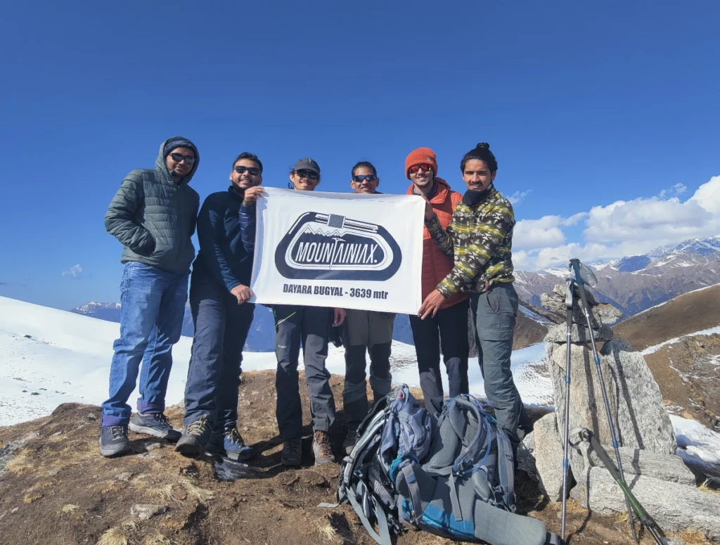
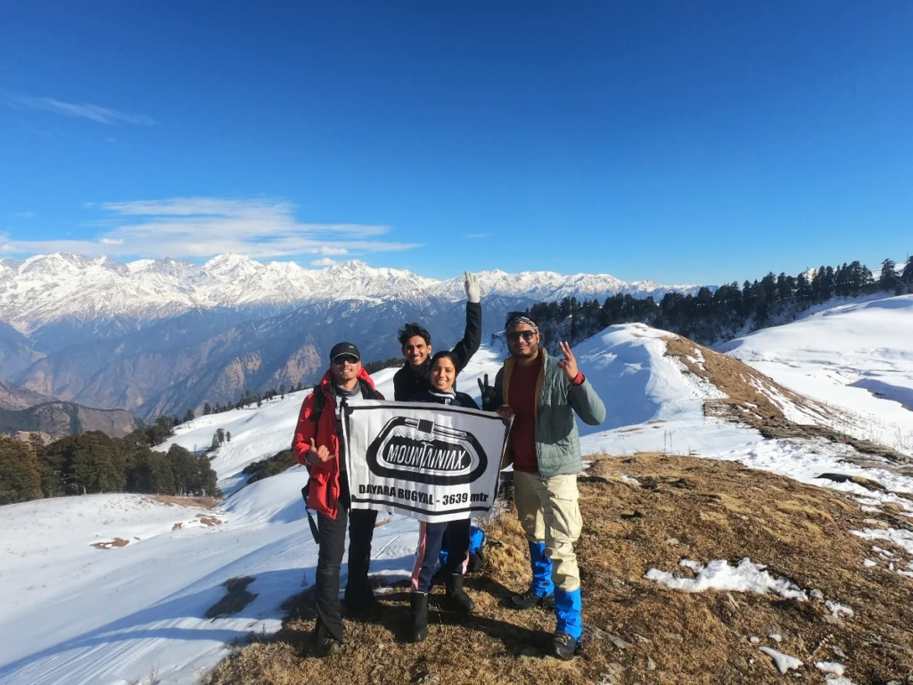
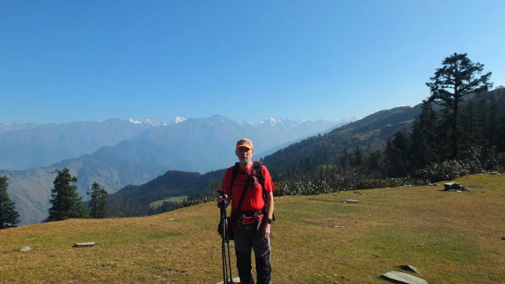
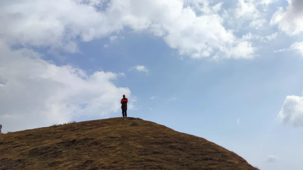
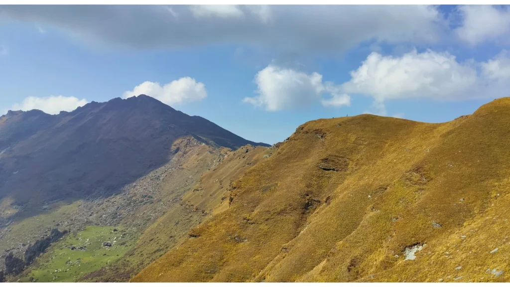
- Visual Journey
Brahmatal Trek Gallery
- Need Help?
Frequently Asked Questions
What is the Brahmatal Trek and where is it located?
How difficult is the Brahmatal Trek? Is it suitable for beginners?
What is the best time to do the Brahmatal Trek?
What is the complete day-by-day itinerary for Brahmatal Trek?
What is the maximum altitude of Brahmatal Trek?
How do I reach Lohajung (Brahmatal Trek base camp) from Rishikesh or Dehradun?
How much does the Brahmatal Trek cost with Mountainiax?
What is the temperature during Brahmatal Trek?
Is mobile network and electricity available during Brahmatal Trek?
What should I pack for Brahmatal Trek? Complete packing list.
- Ready to Trek?
Book Your Free Trek
Consultation Today
With Free Itinerary Planning Session — Limited Slots Available!
- +91-6398937502 | +91-7887449236