6 NIGHTS/7 DAYS
4350 Meters
Moderate
42 KM
April | May | June | September | October | November |
20
The trek route to mythical Satopanth Tal comprises characters like high altitude trekking, cautiously navigating through the landscape full of boulders, moraine, glaciers, and sharp-edged ridges, making it enthralling. Captivating views of colossal Himalayan peaks will bewilder you every now and then. This triangular-shaped glacial lake is located at a staggering altitude of 15100 ft, nestled inside the ridge that is considered to be the “road to truth” (Satya Ka Pantha). The Great Warriors Pandavas of epic Mahabharata took this perilous route in an attempt to reach the gates of heaven. At various places on this trail, their legends still live on, bearing a resemblance to the names in the myth. Towering Mount Chaukhamba shadows the Satopanth Tal along with the Neelkanth, Balakun, Parvati, and other peaks. It is a firm belief that the Trimoorti of Brahma, Vishnu, and Mahesh, bathe in the lake on an auspicious day of Ekkadassi.

Chopta

Delhi , Rishikesh

Dehradun

Jolly Grant Airport, Dehradun

(Summers-25° Max/ 10° Min) (Winters-18° Max/ -5° Min)

CHOPTA – Airtel & Idea

Electricity is available at our campsite in Chopta. Note: Most of the electricity is extremely intermittent and can be absent for most part of the day during winter/late summer (when monsoon starts to set in)

Rudraprayag/Srinagar Market, on the way to Chopta has last ATM. Note: Most of time ATM in hilly regions are not functioning. So withdraw cash before you start your journey to Chopta
The journey to Chopta starts from Delhi as we pick up the participants from a common meeting point Near MCD, Kaushambi Metro Station at 10:00 PM.
The drive becomes picturesque as we reach Rishikesh in the morning and ascend towards the mountain ranges. The holy Ganges and the soothing mountainous terrain make the drive even more pleasing as we pass via Rudraprayag-Ukhimath and reach Chopta. The day ends with a relaxing dinner and an overnight stay in the luxury camps.
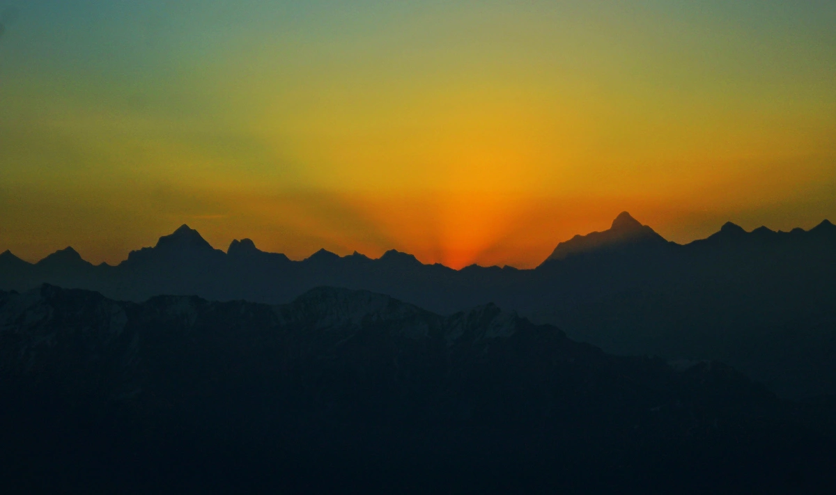
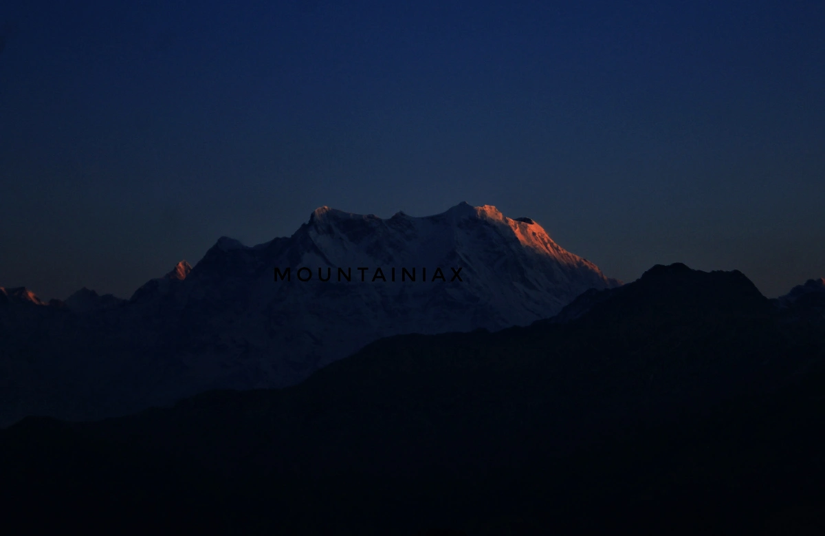
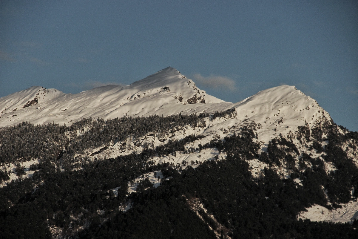
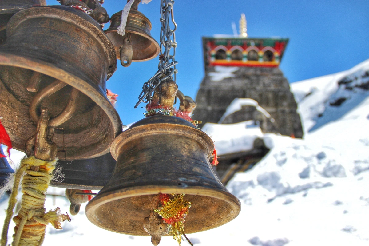
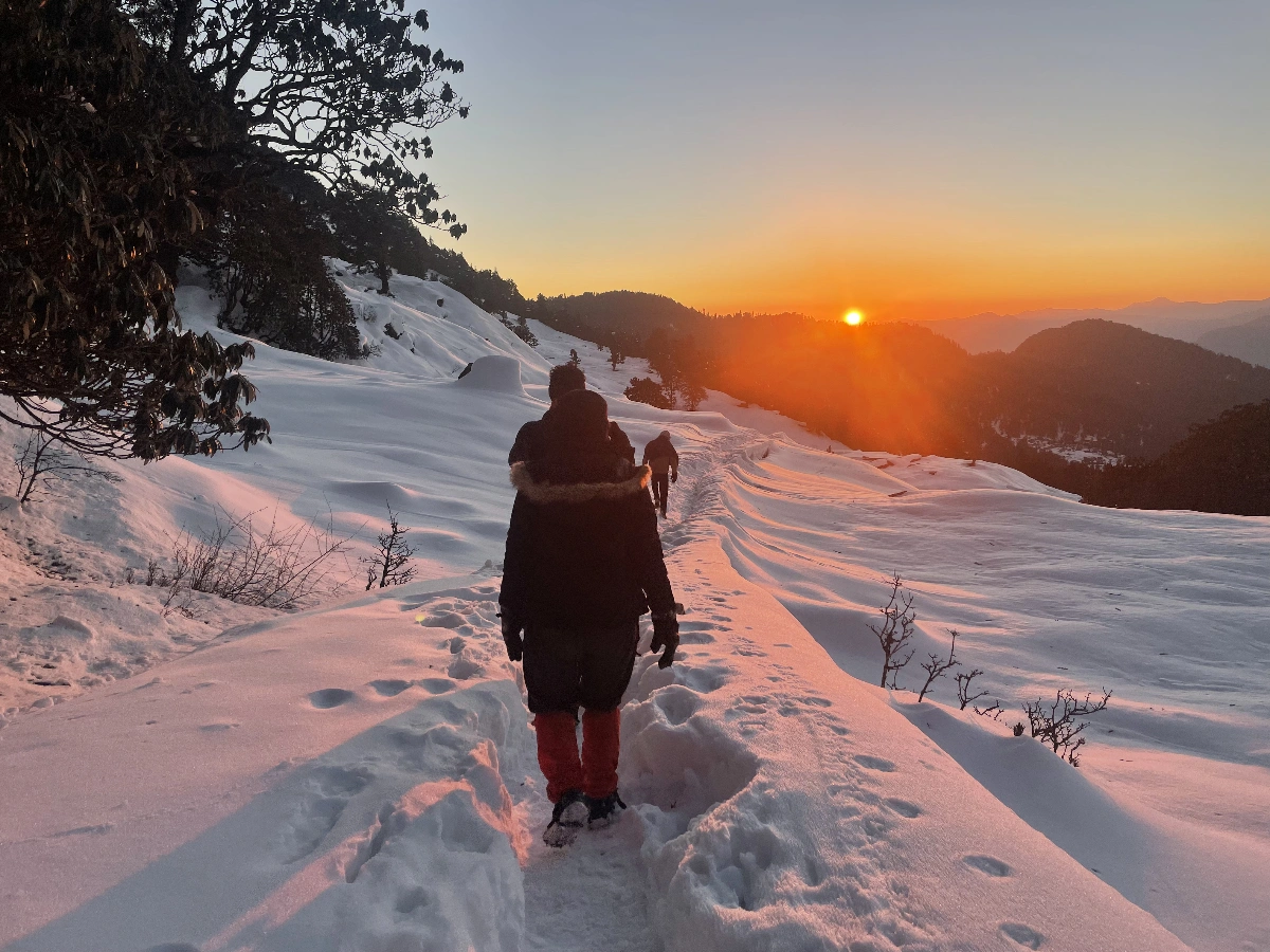
The trek starts in the morning as we ascend towards Tungnath Temple. After trekking for 3.5 km we reach the tranquil Temple of Lord Shiva. The highlight of this trek is the summit of Chandrashila which is 1.5 km ahead of the temple. The steep trail leads us to the hilltop where we are surrounded by the majestic Himalayan peaks including Nanda Devi, Trisul, Kedar Peak, Bandarpunch, and Chaukhamba. We chill out at the summit surrounded by the glory of the Himalayas and trek back to our camp in Chopta.
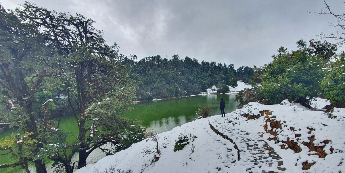
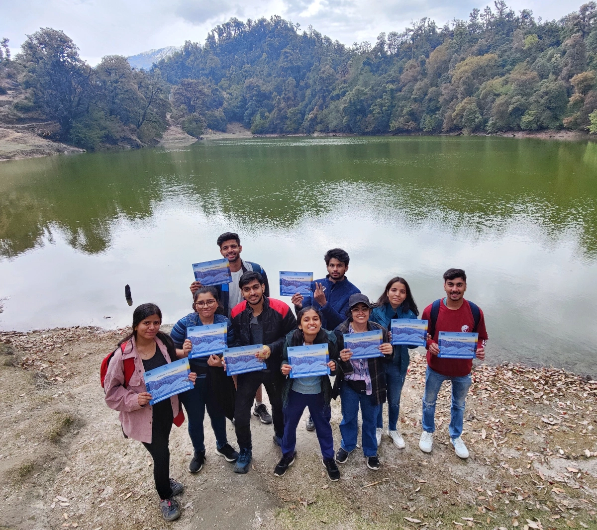
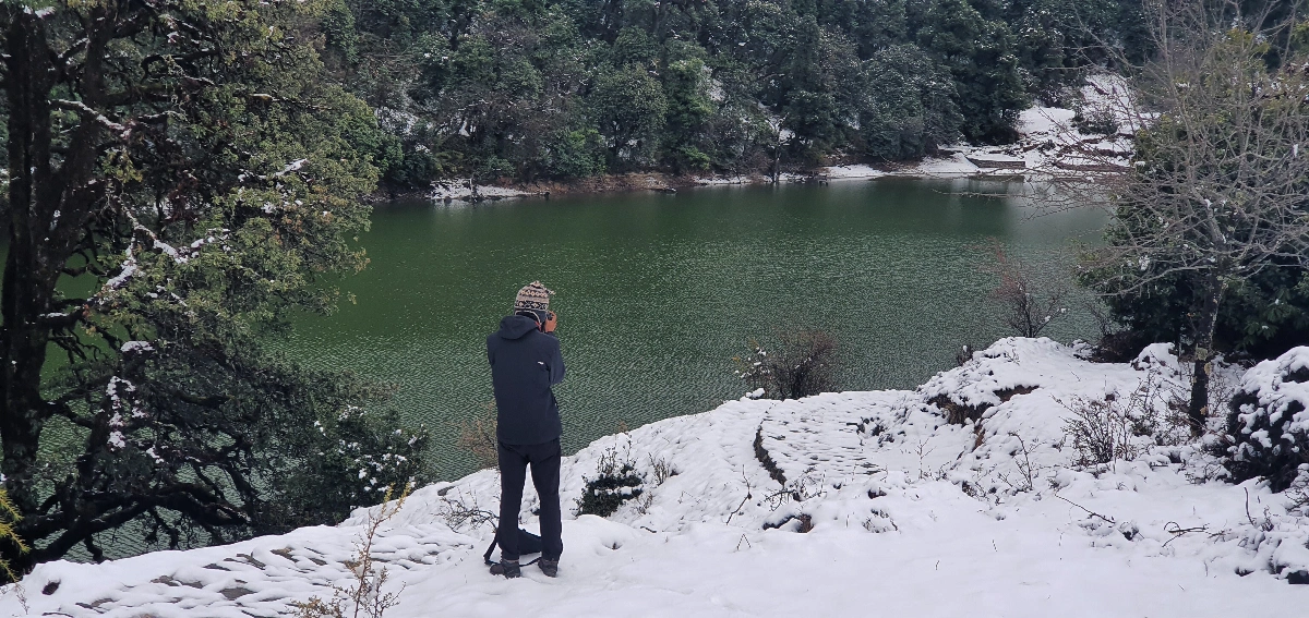
The journey starts in the morning as we hit the road from Chopta. Sari Village is the most popular base camp of Deoriatal Trek. We start the trek through a well marked rocky trail from Sari. You can identify the giant summit of Ravanshila and Chandrashila at the other end of the valley. It is believed that The Hindu Gods use to come and bathe in the lake, hence the locals name it Deoriatal. The lake is known for its wide panoramic views. We relax and enjoy our time near the lake surrounded by the Himalayan peaks of Chaukhamba, Nilkantha, Bandarpunch, Kedar Range, and Kalanag. The trek ends as we descend from the lake and drive back to Delhi with memories of the beautiful Chopta.
Basics Gears
Clothes
Accessories
Others
Mandatory Documents
Cancellation By Operator
If the trek is cancelled due to bad weather conditions (Flood, landslide, snow, heavy rainfall, etc) or any other circumstances( Bandh, strike, earthquake, etc). Mountainiax will issue a trek voucher that can be redeemed within a period of one year for the same trek or any other trek from the date of the original departure date for which the booking was made.
Cancellation by Customer
If the user wishes to cancel any booking due to any reason, the same shall be only valid if Mountainiax is notified of the cancellation in writing on its official e-mail, at least 15 days before the commencement of the trip or any adventure activity.
The following refund shall be payable to the user in case of valid cancellation as per the guidelines
Note: The above-mentioned refunds are subjected to deductions for any expenses that may have been incurred for hotel booking or
transport etc. Refunds are applicable on the total cost and not on the advance amount.
How difficult is Chopta Tungnath trek?
Chopta Tungnath Deoriatal trek is suitably easy to moderate for beginner-level trekkers and for families too. Most of the trekking trails offer conspicuous and neatly paved paths with gentle slopes, so there is no need for prior trekking experience.
What time of the year is considered the best for this trek?
When temperatures range between 10 degrees Celsius and 25 degrees Celsius with clear skies, allowing a glorious view of the surrounding mountain peaks between April to June is always the right time to trek.
The period from September to November marks autumn which follows the monsoon season and features both crisp air and excellent foliage.
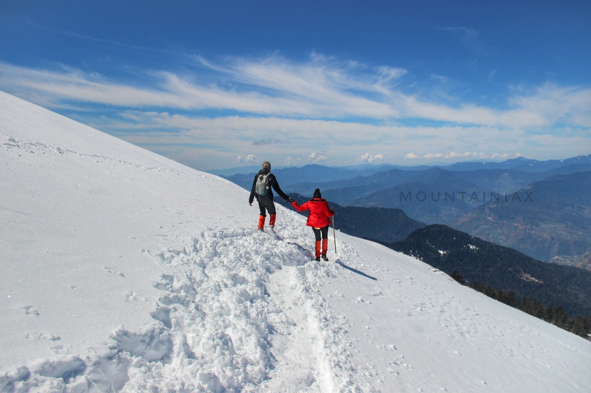
The winter season spanning December through March offers the opportunity to experience snowfall while necessitating preparation for cold temperatures that can drop below freezing by carrying appropriate winter gear.
What is the duration of time required to complete the trek?
The journey across the trekking route requires a duration of three to four days to complete while covering distances ranging from fifteen to twenty kilometers. The duration depends on the itinerary you choose.
Does this trekking route accommodate beginner trekkers?
The moderately challenging nature of this terrain, combined with very well-defined trails and reasonably achievable daily distances, makes this trek ideal for beginners. This trek requires some physical fitness and stamina to be enjoyed to the fullest
What are the main attractions of this trek?
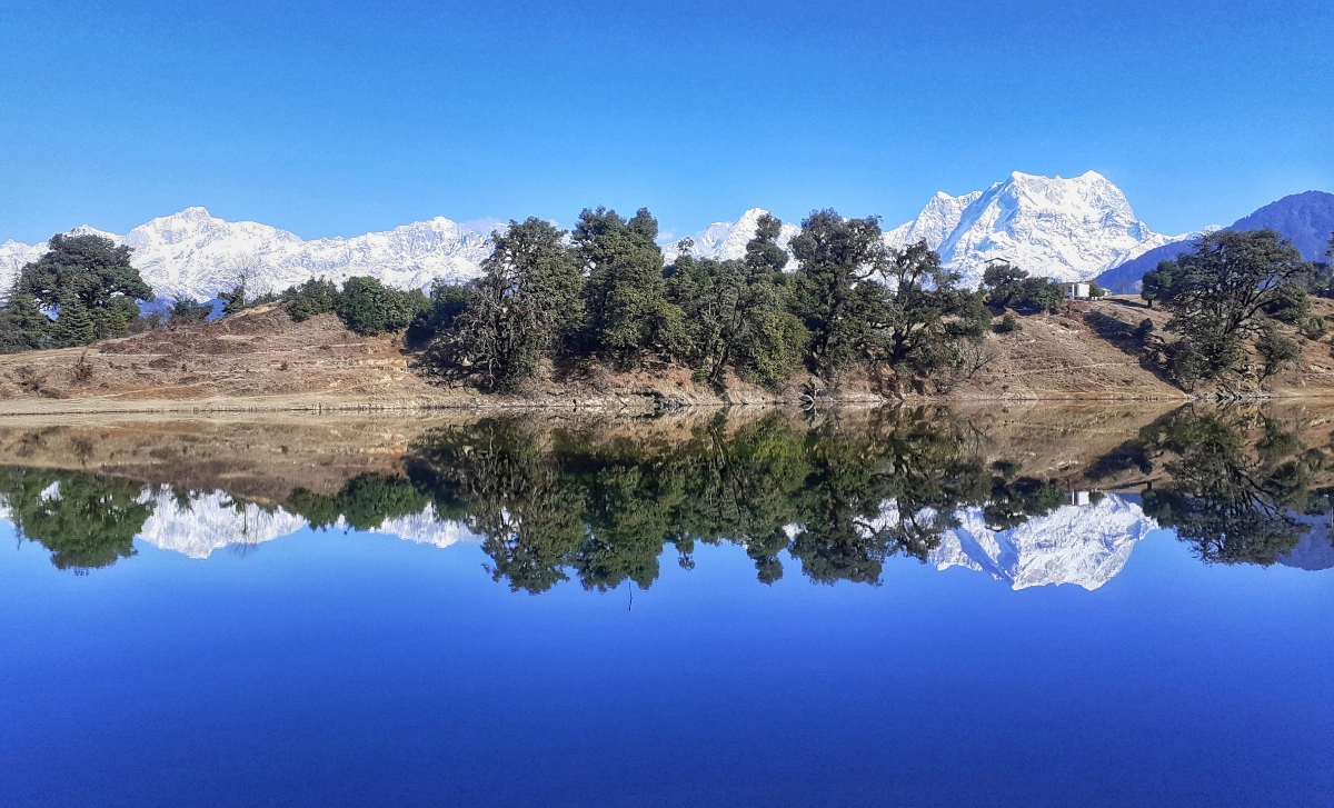
Deoriatal Lake: A high-altitude lake famous for its clear waters reflecting the surrounding Chaukhamba peaks. It creates an alluring mirror effect.
Tungnath Temple: Situated at 3,680 meters, it is the highest Shiva temple in the world, which offers spiritual solace with breathtaking views.
It has a height of 4,000 meters and faces many of the well-known peaks of the Himalayas like Nanda Devi, Trishul, and Kedar Dome.
What accommodation type is available in Chopta ?
Based on itinerary, the accommodation provided is Swiss camps with attached washrooms. These camps are typically comfortable, offering basic amenities and a unique experience of staying close to nature.


Our goal is to encourage sustainable tourism in offbeat destinations of the Himalayas. We want more people to get out of the main trekking hubs & experience themselves and the planet on a new more meaningful level.
All Content & Photos Copyrighted by Mountainiax © 2025