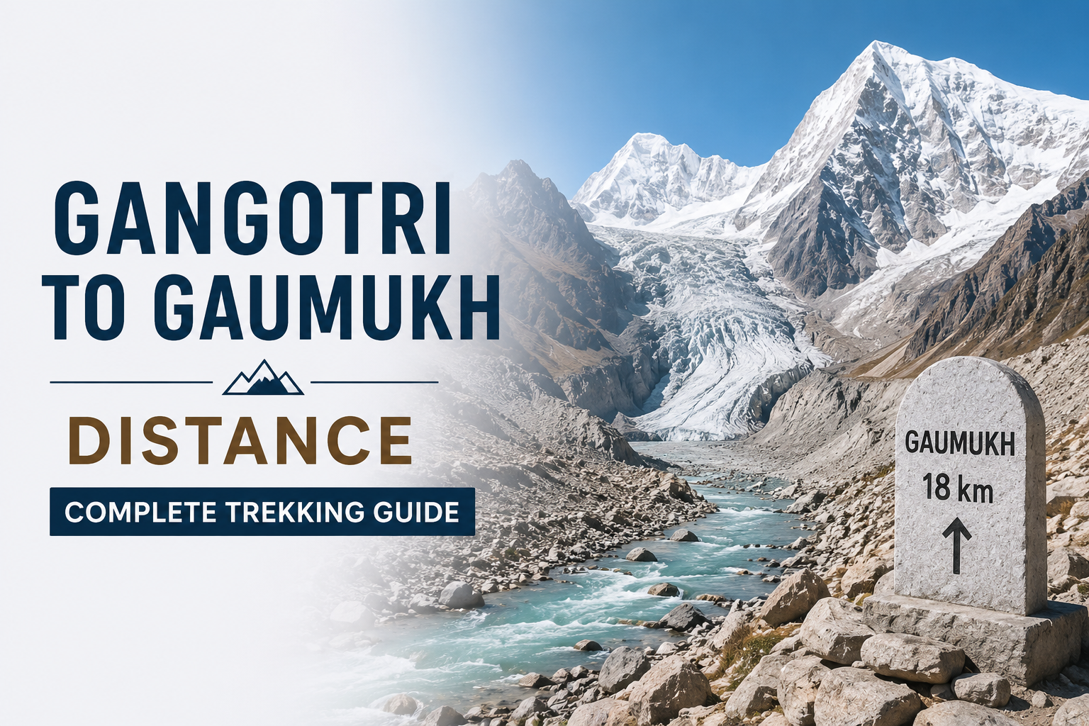
If you’ve searched for the Gangotri to Gaumukh Distance before booking your trip, you’re probably trying to figure out one simple thing — how far you’ll actually be walking. The short answer: roughly 18 to 19 kilometres one way. But that number alone doesn’t tell you much about what the walk is actually like.
This trail follows the Bhagirathi river upstream through pine and birch forest, past open moraine, right up to the snout of the Gangotri Glacier — the spot where the Ganga literally begins as glacial meltwater. It’s one of the few treks in India where pilgrims, sadhus, and mountaineers all end up walking the same path, which gives it a character you won’t find on more commercialized routes.
How Far Is Gaumukh From Gangotri?
The trek from Gangotri to Gaumukh covers roughly 18 to 19 kilometres one way, so a same-route return adds up to around 36 to 38 kilometres total. Gangotri town sits at about 3,050 to 3,100 metres (roughly 10,000 to 10,200 feet), and Gaumukh is close to 4,023 to 4,085 metres (around 13,200 to 13,400 feet) — a climb of roughly 950 to 1,000 metres over the full stretch.
That gain is gradual by Himalayan standards, though not flat — there’s an initial steep push out of Gangotri before the trail settles into a steady, manageable incline. There’s no continuous switchback climb like you’d find on Kedarkantha or Roopkund.
The route breaks down into three recognizable stretches:
- Gangotri to Chirbasa: about 9 to 10 km (this varies slightly by operator), climbing to roughly 3,550 metres (11,630 to 11,700 feet)
- Chirbasa to Bhojbasa: 5 km, reaching about 3,800 metres (12,415 to 12,500 feet)
- Bhojbasa to Gaumukh: the final 4 km, across open, rocky terrain with the glacier visible ahead
Bhojbasa is where most groups stop for the night. It’s also where the Gangotri to Gaumukh trek starts to feel genuinely remote — the forest disappears above this point and the Bhagirathi peaks take over the skyline.
What Does a Typical Itinerary Look Like?
Most people ask this because they’re trying to plan leave days or figure out how much time to block off. Here’s a realistic breakdown based on how established trekking operators actually structure the trip.
Day 1: Gangotri to Chirbasa
Roughly 9 to 10 km, taking 5 to 6 hours. The trail starts with a short, steep climb out of Gangotri before easing into a gentler forest path alongside the Bhagirathi.
Day 2: Chirbasa to Bhojbasa
About 5 km, usually 3 to 4 hours. The valley widens here and tree cover starts thinning out.
Day 3: Bhojbasa to Gaumukh and back
The final 4 km to Gaumukh are best done early in the morning, since river crossings and glacier visibility are better before the afternoon melt picks up. Most trekkers return to Bhojbasa or Chirbasa the same day.
Day 4 (if needed): Return to Gangotri
A fairly straightforward descent, generally faster than the ascent since it’s mostly downhill and level walking.
Note that overnight stays at Bhojbasa are in basic dormitory or camp-style accommodation, not commercial trekking lodges — this is a forest department and locally-run setup, not a hospitality chain.
If two or three days isn’t enough for you, the route extends into the Gaumukh Tapovan trek, which covers roughly 41 to 46 km across 5 to 6 trekking days depending on the operator, and involves crossing the Bhagirathi river on a hand-pulled trolley or Tyrolean traverse before a steep final climb to Tapovan at around 4,328 metres (14,203 feet). This extension is graded moderate-to-difficult and is meant for trekkers with prior high-altitude experience, not first-timers.
When Should You Actually Go?
Timing this trek correctly makes a real difference to both safety and experience.
- May to June: Trails are accessible, though early summer can still have residual snow near Gaumukh. Daytime temperatures at Bhojbasa hover around 15 to 20°C, dropping close to freezing at night
- Mid-September to mid-October: Widely regarded as the best window — stable weather, clearer skies, and cooler, more comfortable trekking conditions. This season typically runs only 4 to 5 weeks before pre-winter snow closes things down again
- July to August: Monsoon rains make several sections of the trail landslide-prone, and most trekking operators pause organized departures during this window. Char Dham pilgrims do continue visiting Gaumukh even through the monsoon months, but this is not the safest or most enjoyable time for a trekker to attempt the route
- November onward: Snowfall typically closes the trail until the following summer
Permit and season cutoff dates shift slightly year to year depending on weather, so it’s worth confirming directly with the Gangotri Forest Division or a local operator before finalizing your dates.
Do You Need a Permit for This Trek?
Yes — and this catches a lot of first-time trekkers off guard. Gaumukh falls inside Gangotri National Park, so this isn’t a walk-in trail.
Forest entry permit: checked at a forest checkpoint roughly 2 km from the Gangotri bus stand, required for every trekker.
ID proof: a valid government photo ID is needed at the checkpoint.
Foreign nationals: face an additional permit fee and need extra documentation, including passport and visa copies.
Camping restriction: camping directly at the Gaumukh snout itself is not permitted, since the area is both ecologically protected and considered sacred — overnight stays happen at Bhojbasa or Chirbasa instead.
If you’re trekking independently rather than with an operator, arriving in Gangotri a day early gives you a buffer in case of paperwork delays during peak season.
How Is This Trek Different from Other Himalayan Routes?
Unlike destination treks such as Valley of Flowers or Kedarkantha, the Gangotri to Gaumukh route is as much a pilgrimage corridor as a trekking trail. You’ll share the path with sadhus, Char Dham pilgrims extending their journey, and mountaineering expeditions headed toward Shivling or the Gangotri Glacier’s upper reaches.
This mixed traffic shapes the trail experience in practical ways:
- Accommodation at Bhojbasa is basic — tents or forest department huts, not lodge-style rooms
- Toilets along the route are largely dry pit or tent-based; proper washrooms are only reliably available back in Gangotri
- The atmosphere near Gaumukh itself carries a quieter, more reflective tone than typical scenic viewpoints, partly because it sits within a protected zone with no built infrastructure
For trekkers used to more commercialized routes, this is worth knowing going in, since it changes expectations around comfort and pacing.
How Should You Prepare Physically?
The trail is graded moderate rather than technically difficult, but altitude and distance still call for reasonable preparation.
- Build stamina with regular walking, jogging, or cycling for at least 4 to 6 weeks before the trek
- Being able to walk 2 to 3 hours at a stretch without significant fatigue is a reasonable baseline fitness check
- Carry layered clothing — nights at Bhojbasa can drop close to freezing even in peak summer
- Pace yourself from Day 1 rather than pushing hard, since Gangotri itself already sits above 10,000 feet, which is the altitude threshold where Acute Mountain Sickness becomes a real possibility
- Watch for AMS symptoms — headache, nausea, dizziness, unusual fatigue — and inform your trek leader or travel companion immediately if they appear
- Carry a basic first-aid kit and any personal medication, since medical facilities beyond Gangotri are minimal; the nearest properly equipped hospital is in Uttarkashi, roughly 100 km away by road
Trekkers with some prior high-altitude experience generally find the Gangotri to Gaumukh section itself manageable. First-timers should still treat it as a genuine mountain trek rather than a casual day hike, despite the relatively short distance.
Frequently Asked Questions
1. What is the exact distance from Gangotri to Gaumukh?
Roughly 18 to 19 kilometres one way, or around 36 to 38 kilometres round trip via the same route.
2. Is the Gangotri to Gaumukh trek difficult for beginners?
The gradient is moderate rather than steep, but reaching close to 4,000 metres over that distance still calls for baseline fitness. Most beginners manage it comfortably when they split it across two to three days instead of rushing.
3. Do I need a permit to trek from Gangotri to Gaumukh?
Yes. Since the trail runs through Gangotri National Park, a forest entry permit is mandatory and is checked at a forest post near the Gangotri bus stand.
4. How many days does the Gangotri to Gaumukh trek take?
Most trekkers complete it in 2 to 3 days, with an overnight stop at Bhojbasa or Chirbasa as the standard pattern.
5. Can this trek be extended to Tapovan?
Yes, more experienced trekkers often continue past Gaumukh to Tapovan, covering roughly 41 to 46 km in total across 5 to 6 trekking days. This stretch involves a river crossing by trolley and a noticeably steeper, more technical climb.
Conclusion
The numbers matter, but they’re only half the story. Reaching the glacier snout where the Bhagirathi actually emerges from the ice is unlike most scenic Himalayan stops — there’s no viewing deck, no crowd barriers, just open moraine and the sound of meltwater. Getting the distance, day splits, altitude gain, and permit process right is what turns this from a rushed pilgrimage detour into a trek you can actually plan for and enjoy properly. Whether you stop at Gaumukh or push on to Tapovan, going in with accurate expectations makes the difference between a good trek and a genuinely memorable one.
Plan Your Trek with Local Expertise
Permit rules, river conditions, and trail safety on this route shift through the season in ways that are easy to get wrong from a distance. If you’re planning a Gangotri to Gaumukh trek, Mountainiax runs guided departures with experienced local trek leaders, permit handling taken care of, and small group sizes that keep the experience close to what this trail is meant to feel like. Reach out to our team to check current season dates and lock in your spot.